A Tour of the Promenades
Last Friday morning I went on a tour of the Jerusalem promenades sponsored by the Association of Americans and Canadians in Israel (AACI). The tour guide was my friend Dani Barkai.
Here’s the route, taken from the AACI English-speaking tours page:
We’ll begin with the new Goldman Promenade encircling the old Governor's House in East Talpiot, continue along the Haas-Sherover Promenade and then through Abu Tor, Gai Ben Hinnom, and Yemin Moshe, ending up at the King David Hotel.
The tour was fantastic, and I’m not saying that just because a friend of mine happened to be the guide. I saw parts of Jerusalem that I had never seen before and learned quite a lot.
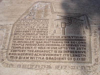
Here are some pictures from the tour. First, just off the Haas Promenade is a shaft dug two millennia ago, which is part of the complex system of aqueducts that served Jerusalem from Roman times until the mid-twentieth century:
Here is the text of the explanatory mosaic in the photograph:
The aqueduct to Jerusalem was built during the Second Temple period and originally served the Temple only. It was in use up to the twentieth century. The aqueduct is an impressive engineering achievement. Its length is 61 kilometers with a gradient of 0.1 percent.
The next photograph is part of a mosaic that shows the aqueduct’s entire route, including significant landmarks:
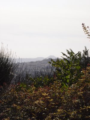
From this spot it is possible to see the Herodion fortress. It’s the flat-topped mountain in the distance.
Next, some early almond blossoms:
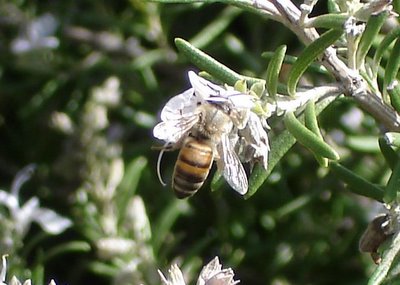
Yet another bee on a rosemary blossom:
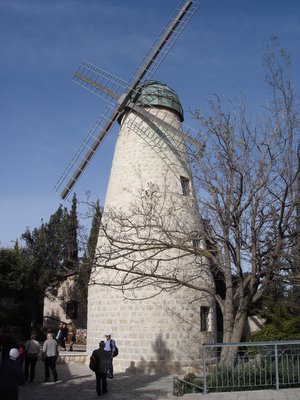
Here is the windmill built by Sir Moses Montefiore. It was only in use for several months; unfortunately, the native wheat that grows here proved too coarse for it. Today it is a museum of the life and times of Sir Moses Montefiore, who lived to be 101 years old.
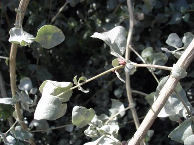
As we walked, we found a large salt bush. The leaves are edible and are indeed salty—a good thing to know for hot days.
A panoramic view of Jerusalem, with a diagram at the lookout site to show us what we are looking at:
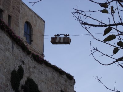
This is the cable car that brought supplies across the valley to Mount Zion from the Yemin Moshe area during the War of Independence. Mount Zion was under a blockade then, and this rickety cable car was the only way to get supplies to the fighters. This was done at night, when no one could see the cable car; during the day it was lowered to the ground, where it could not be seen.
By the way, the name of the valley between Yemin Moshe and Mount Zion is Gei Ben Hinnom, otherwise known as Gehenna. That’s right: hell. This was the location in which, during the time of the prophet Jeremiah, the Israelites carried out the abominable practice of sacrificing their own children to the Moabite god Molokh. Jeremiah’s denunciations of this practice, which was eventually eradicated, survive in the Bible.
The mountains of Moab—present-day Jordan—are quite close to where we were, and on a clear day they can be seen from where we were standing.
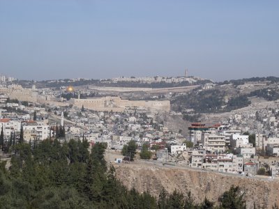
Here is a view of the Old City with the City of David—King David’s original capital—approaching the foreground.
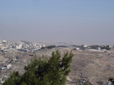
The Jerusalem barrier:
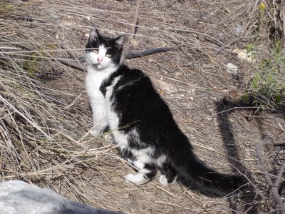
Finally, a black and white cat we met on the way.



No comments:
Post a Comment
Comments are moderated. If you're a spammer, don't waste your keystrokes. If you're a real, honest-to-goodness commenter, welcome!